
Car Accidents in Bakersfield, CA: Crash Data and Road Safety
Key crash statistics, high-risk roads, and accident report resources in Kern County, California.
Heading west, the new Centennial Corridor links 58 to the Westside Parkway, and Route 58 continues out Stockdale Highway to I-5, several miles west of the city. Ming Avenue fills with shoppers bound for Valley Plaza, the valley’s biggest mall, and more than 10,000 students head to Cal State Bakersfield on Stockdale Highway.
Fatal crashes climbed sharply in the first half of 2026. If you crash here, whether it happened on a freeway or a city street decides who has your report.
What to Do After a Crash on a Bakersfield Street
The Bakersfield Police Department’s Traffic Section investigates crashes on city streets. The California Highway Patrol covers the freeways from its Bakersfield Area office at 9855 Compagnoni Street. The Kern County Sheriff’s Office polices the unincorporated county, which surrounds the city and includes some addresses with a Bakersfield mailing address.
Bakersfield Police accident reports are available online through the LexisNexis police report portal linked from the department’s website. California Vehicle Code 20012 limits them to the people involved, their representatives, and insurers.
For a CHP report, file a CHP 190 form in person or by mail with the Area office. The fee is $10 for up to 25 pages, paid by check or money order. Drivers, passengers, vehicle and property owners, and parents or guardians of a minor can request one.
California also requires every driver in a crash that hurt or killed anyone, or caused more than $1,000 in damage, to file an SR-1 with the DMV within 10 days. It applies regardless of fault, and a police report does not count.
Not sure which agency holds your report? We can help you find out. Our California accident resources cover the rest of the state.
Where Do Most Crashes Happen in Bakersfield?
Ming Avenue from Chester Avenue to Gosford Road ranks first among the high-injury corridors in the City of Bakersfield’s Local Road Safety Plan, with 221 collisions from 2015 to 2019, 26 of them fatal or severe. The plan ranks corridors by a score weighted toward the most serious crashes.
- Ming Avenue, Chester Avenue to Gosford Road. The 4.3-mile stretch past Valley Plaza also holds the city’s top-ranked intersection, Ming Avenue and New Stine Road, with 82 collisions in the same five years.
- Union Avenue, Brundage Lane to 21st Street. 107 collisions and nine fatal or severe collisions in the plan. Union Avenue is State Route 204 at street level, and a UC Berkeley safety study recorded a pedestrian killed at Union and 20th Street and a bicyclist killed at Union and 19th Street.
- H Street, Brundage Lane to 30th Street. 151 collisions, six fatal or severe. Construction was set to begin in late July 2026 on an H Street safety project from SR 58 to Golden State Avenue, adding a lane reduction, bike lanes, curb bulb-outs and lighting.
- Brundage Lane, Oak Street to Union Avenue. Second on the plan’s corridor list, with 196 collisions and seven fatal or severe.
Panama Lane, Ashe Road to Union Avenue. Third on the corridor list, with 104 collisions and 11 fatal or severe over four miles. Panama Lane and Colony Street is the plan’s third-ranked intersection, with 38 collisions.
Bakersfield Crash Figures
| Measure | Figure | Year | Source |
|---|---|---|---|
| Fatal collisions, January 1 to mid-July | 25 | 2026 | Bakersfield Police Department, reported by KBAK |
| Fatal collisions involving impaired drivers | 8 | 2025 | Bakersfield Police Department, reported by KGET |
| People killed or injured in crashes | 2,073 | 2023 | California Office of Traffic Safety |
| Pedestrians killed or injured | 170 | 2023 | California Office of Traffic Safety |
| Fatal collisions on city streets | 145 | 2015 to 2019 | City of Bakersfield Local Road Safety Plan |
| Fatal or severe-injury collisions on city streets | 419 | 2015 to 2019 | City of Bakersfield Local Road Safety Plan |
Police counted nine fatal crashes in June 2026 alone, which the department called an alarming rise. The Office of Traffic Safety ranked Bakersfield as the worst among 15 large California cities in 2023 for crashes involving drinking drivers under 21. According to the safety plan’s data, 36 percent of fatal and severe crashes on city streets involved a pedestrian, and 60 percent of pedestrian crashes on the plan’s high-injury corridors occurred at night.
Hospitals for Bakersfield Crash Injuries
Kern Medical at 1700 Mount Vernon Avenue in east Bakersfield is a Level II trauma center. The nearest Level I is Community Regional Medical Center in Fresno, which describes itself as the region’s only Level I trauma center.
Questions About Crashes in Bakersfield
What is the most dangerous road in Bakersfield?
Ming Avenue between Chester Avenue and Gosford Road ranks first among high-injury corridors in the City of Bakersfield’s Local Road Safety Plan, with 221 collisions from 2015 to 2019, 26 fatal or severe. Ming Avenue at New Stine Road is the plan’s top-ranked intersection.
How many fatal crashes has Bakersfield had this year?
Bakersfield police had counted 25 fatal traffic collisions in 2026 by mid-July, including nine in June, KBAK reported. Police called it an alarming rise and stepped up traffic enforcement. In 2025, the department recorded eight fatal collisions involving impaired drivers.
Where can I get a Bakersfield police crash report?
Bakersfield Police accident reports are sold online through the LexisNexis police report portal linked from the department’s website. Crashes on the freeways and state routes are handled by the CHP; request those with a CHP 190 form from the Bakersfield Area office, at $10 for up to 25 pages.
How dangerous is Bakersfield for pedestrians?
The state Office of Traffic Safety counted 170 pedestrians killed or injured in Bakersfield in 2023. In the City’s road safety plan, 36 percent of fatal and severe crashes on city streets involved a pedestrian, and 60 percent of pedestrian crashes on its high-injury corridors happened at night.
Kern County Accident Reports on Local Accident Reports
Rear-End Crash on Tehachapi Willow Springs Rd in Tehachapi, CA
One Hurt in Intersection Crash on Lake Isabella Blvd in Lake Isabella, CA
Pedestrian Critically Injured in Crash on Norris Rd in Bakersfield, CA
Multi-Vehicle Crash on SR-223 and Old River Rd in Bakersfield, CA
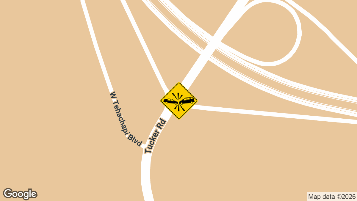
Crash on SR-202 Off-Ramp Near SR-58 EB in Tehachapi, CA
At Local Accident Reports, we cover crashes in all fifty states. But that’s not all; we also report the latest crashes county by county, not just state by state. Our goal is to give drivers and other road users reliable, up-to-date crash information for any location they’re interested in.
Here you can find some of the most recent crashes in Kern County, which covers Bakersfield along with Arvin, Wasco and Taft, and rural stretches such as Lost Hills. A recent city report covers a crash on East California Avenue. The full archive is at Kern County accident news.
Bakersfield is not alone. High-crash intersections across California follow similar patterns, and recent accident alerts follow new crashes as they are reported.
Local Accident Reports compiles this information from public agency sources and published reports for general reference. It is not legal advice and is not an official police record. Fees, forms and deadlines change, so confirm with the agency before you send a request. Last updated October 2026.