
Car Accidents in Redding, CA: Police Reports and Crash Data
Key crash statistics, high-risk roads, and accident report resources in Redding, CA.
We keep a close watch on the city’s crash data, from the busy intersections downtown to the corridors along South Market Street. As Redding continues to grow and change, we’ve seen how traffic patterns, new development, and ongoing safety projects affect everyone, drivers, cyclists, and pedestrians alike.
Navigating what happens after a crash, figuring out which agency responded and how to get your report, can feel confusing. That’s where our team comes in: we’re here to help you make sense of the process, answer your questions, and connect you with the information you need, wherever your accident happened in Redding.
If you’ve been involved in a car accident in Redding, CA, or want to learn more about crash trends and road safety in your neighborhood, you’re in the right place. Read on for a detailed look at Redding crash statistics, step-by-step instructions for getting police reports, and resources to help you stay safe in the city.
Redding Police, CHP, and Your Crash Report
The Redding Police Department works crashes on city streets. The California Highway Patrol’s Redding Area office covers Interstate 5, State Routes 299, 273, 89 and 44, and every unincorporated county road in Shasta County. Inside the city, those state routes run on downtown streets, and the agency on scene can vary: KRCR reported in August 2022 that CHP investigated one pedestrian death on Highway 273 while Redding police investigated another on the same route.
If Redding police took your crash, the report comes from the Redding Police Department. CHP reports are requested on form CHP 190, the CHP Collision Request Form, or through CHP’s online crash report portal. California drivers also owe the DMV an SR 1 within 10 days when anyone is hurt or killed, or damage tops $1,000. The rest of the statewide process, fees included, is in our California crash report guide.
Not sure whether Redding police or CHP took your report, or just don’t want to chase the paperwork? We can get a copy of your report for you at no cost.
Redding Crash Numbers, 2021 to 2025
| Measure | Figure | Year | Source |
| People killed in DUI crashes handled by Redding police | 0, down from 3 in 2024 | 2025 | Redding Police Department 2025 Year-End Recap, reported by the Record Searchlight |
| DUI crashes handled by Redding police | 107, up from 104 in 2024 | 2025 | Redding Police Department 2025 Year-End Recap, reported by the Record Searchlight |
| People killed or injured in crashes | 271, up from 228 in 2022 | 2023 | California Office of Traffic Safety rankings |
| Pedestrians and bicyclists killed or injured | 21 pedestrians, 21 bicyclists | 2023 | California Office of Traffic Safety rankings |
| People killed or injured in crashes | 440 | 2021 | California Office of Traffic Safety rankings |
| Motorcyclists killed or injured | 44, ranked worst of 105 similar-sized California cities | 2021 | California Office of Traffic Safety rankings |
The killed-or-injured rows come from the Office of Traffic Safety’s Redding rankings, which count people killed and people injured together, and 2023 is the most recent year OTS has published.
In 2023, Redding ranked 73rd among 103 comparable cities for total victims, with first being worst. Speed was a factor in 40 crashes that killed or injured someone. The DUI figures come from Redding police’s 2025 year-end recap, as reported by the Record Searchlight, and include only crashes handled by the department, not CHP crashes on I-5 or state routes. Deaths fell to zero, while DUI crashes barely changed and DUI arrests rose to 484, up from 408 in 2024.
Where Crashes Happen in Redding
Six people walking were killed along Highway 273 through downtown and down South Market Street between 2015 and 2019, according to a 2021 review by UC Berkeley’s SafeTREC and California Walks.
South Market Street (Highway 273), Pine Street and Eureka Way south to Buenaventura Boulevard. The SafeTREC and California Walks corridor report, put together with City of Redding planners and Caltrans, counted 45 pedestrian crashes with 49 victims and three serious injuries over those five years. It also logged 21 bicycle crashes, with one death and two serious injuries. The downtown segment alone had 35 of the pedestrian crashes and 14 bicycle crashes.
The violation cited most often was a pedestrian crossing outside a crosswalk without yielding, in 25 crashes. Drivers failing to yield to someone in a crosswalk came next, in 20 crashes. Bicycle crashes clustered at Highway 273 and West Cypress Avenue, including one serious injury.
Cypress Avenue at Market and Pine streets, downtown. At a May 2015 walkability workshop the City hosted, SafeTREC, California Walks and Shasta Living Streets assessed this intersection on foot. Highways 273, 44 and 299 all run through downtown on parts of California, Pine, Tehama, Market and Shasta streets and Eureka Way. The report noted high speeds, long waits at push-button signals, and parked cars hiding people on foot from drivers. That review published no crash counts for the intersection.
Victor Avenue and Cypress Avenue, near Enterprise High School. The City’s Victor and Cypress Avenues Active Transportation Project, filed for environmental review in November 2024, would cut the number of travel lanes on parts of both streets. It covers Victor from about 450 feet south of Bramble Place to about 800 feet north of Cypress, Cypress from about 300 feet west of Alfreda Way to 200 feet east of Saber Court, and Hartnell Avenue from Robert Court to Yana Avenue.
The plan adds sidewalks, shared-use paths, buffered bike lanes, raised medians, rapid flashing beacons, a protected intersection, a roundabout, and a pedestrian bridge, because some segments have broken-up walking and biking routes and some have none. Construction was planned across the 2025 and 2026 seasons.
Churn Creek Road at Victor Avenue and Rancho Road. The City’s roundabout project, filed in November 2025, merges these two intersections into one roundabout and widens Churn Creek Road. The City gives its purpose as safe and sustainable travel and room for traffic from current and planned development. The filing cites no crash data.
Trauma Care Near Redding
Mercy Medical Center Redding is a Level II trauma center and the only trauma-designated hospital in Shasta County on the Sierra-Sacramento Valley EMS Agency’s regional hospital list, updated in October 2025. Shasta Regional Medical Center carries no trauma level on that list.
The only Level I center on the same list is UC Davis Medical Center in Sacramento, which is also the only hospital there with a pediatric trauma designation.
After a crash, we can connect you with local help, from doctors and body shops to injury attorneys. Contact our team.
Redding Crash Questions, Answered
How many people are killed or injured in Redding crashes each year?
The California Office of Traffic Safety counted 271 people killed or injured in Redding crashes in 2023, its most recent published year. The count was 228 in 2022 and 440 in 2021. OTS reports deaths and injuries as one combined figure, so the rankings give no separate death toll.
How many pedestrians have been hit on South Market Street?
A 2021 review by UC Berkeley SafeTREC and California Walks identified 45 pedestrian crashes along the Highway 273 corridor between Pine Street and Eureka Way, continuing south on South Market Street to Buenaventura Boulevard, from 2015 to 2019. Six pedestrians died, three were seriously injured, and 35 crashes occurred in the downtown segment.
Are DUI crashes going down in Redding?
Deaths are. Redding police reported no one was killed in a DUI crash it handled in 2025, after three in 2024 and two in 2023, according to the Record Searchlight. DUI crashes the department handled rose slightly, to 107 from 104, and officers made 484 DUI arrests, up from 408.
Who responds to a crash on I-5 in Redding?
The CHP’s Redding Area office handles Interstate 5, State Routes 299, 273, 89, and 44, as well as unincorporated roads throughout Shasta County. The Redding Police Department handles crashes on city streets. CHP reports are requested using form CHP 190 or through the CHP online crash report portal.
Shasta County Accident Reports on Local Accident Reports
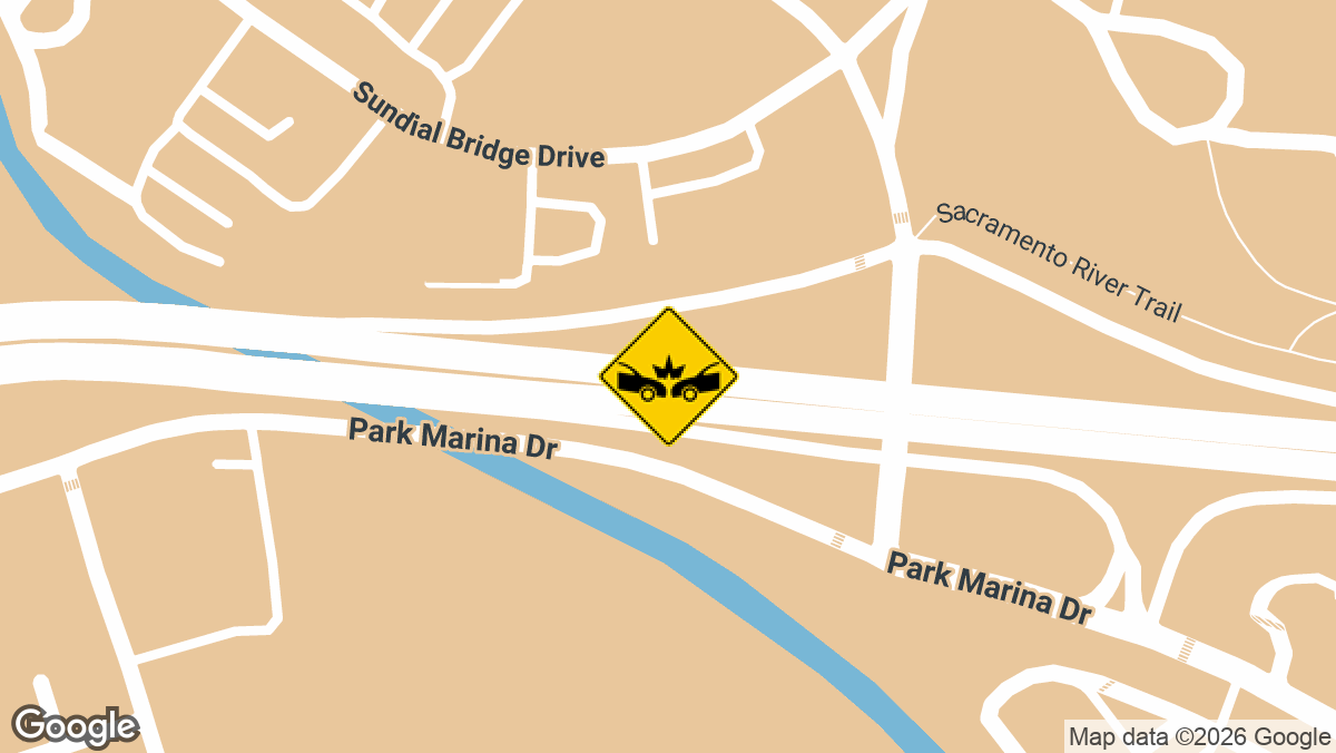
Five-Vehicle Crash Snarls Traffic on WB SR-44 in Redding, CA
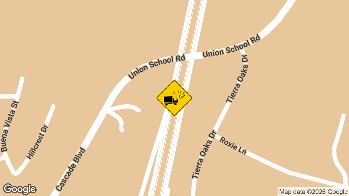
Minor Injuries Reported in Hit-and-Run Semi-Truck Rollover on I-5 S Near SR-151 in Shasta Lake, CA
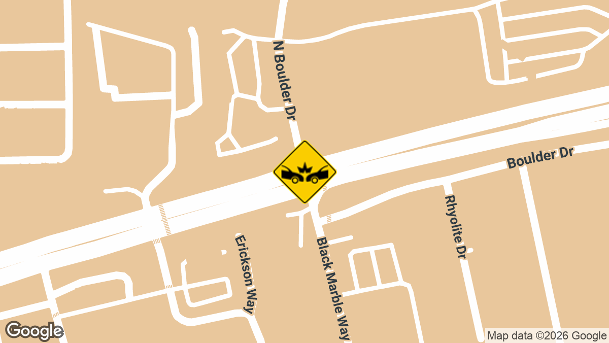
Multi-Vehicle Crash Injures Several on Lake Blvd in Redding, CA
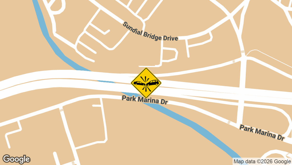
Two-Vehicle Crash Blocks Westbound Lanes on SR-44 in Redding, CA
Minor Injury Crash on EB SR-299 at I-5 NB Ramp in Redding, CA
Our team at Local Accident Reports is dedicated to keeping the Redding community informed about crashes, both close to home and across all fifty states. We know how important it is to have up-to-date crash information that’s relevant to your neighborhood, which is why we go beyond state-level data to offer county-by-county updates.
Here, you’ll find the most recent crash reports for Shasta County, including Redding, Anderson, Shasta Lake, Whiskeytown, and French Gulch. For a deeper look at past incidents, you can explore our full Shasta County accident news archive.
Redding isn’t alone in this. Dangerous roads and intersections across California follow similar patterns, and recent accident alerts track new crashes as they come in.
If you have questions, need help after a crash, or want guidance on accessing a report, our team is here for you. Reach out any time; we’re committed to helping Redding drivers and families stay safe and informed.
Local Accident Reports compiles this information from public agency sources and published reports for general reference. It is not legal advice and is not an official police record. Fees, forms and deadlines change, so confirm with the agency before you send a request. Last updated October 2026.