
Car Accidents in Sacramento, CA: Police Reports and Crash Data
Key crash statistics, high-risk roads, and accident report resources in Sacramento, CA.
Our reporting team tracks crash data, analyzes official reports, and keeps up with local news to help drivers and families throughout Sacramento and Sacramento County. We see the impact of major routes like I-5, I-80, US 50, and the Capital City Freeway on daily life, and we know how important it is to have access to accurate information when you need it most.
We’re committed to analyzing Sacramento’s crash data, highlighting risky intersections, and sharing road safety tips. By making this info accessible, we aim to empower residents, commuters, families, cyclists, and pedestrians to make safer choices.
When the city asked residents about traffic safety, people pointed out that the most dangerous spots are often where freeway ramps connect with city streets.
If you’ve been involved in a car accident in Sacramento, CA, or want to understand local crash trends and road safety in your area, you’re in the right place. Scroll down for a detailed look at Sacramento crash data, step-by-step guidance for getting police reports, and practical tips for staying safe on local roads.
Which Agency Handles a Sacramento Crash
On city streets, the Sacramento Police Department will send an officer to take a collision report if someone is seriously hurt or killed, someone is taken to the hospital by ambulance, a hit-and-run is a felony, there’s an arrest (like for DUI), or if a city vehicle is involved. For other types of crashes, you can report them online or at a police public counter.
The California Highway Patrol (CHP) handles crashes on freeways. The North Sacramento Area office at 5109 Tyler Street covers I-5, I-80, SR 51, SR 160, and SR 99 in the northern part of Sacramento County. The South Sacramento Area office at 6 Massie Court is responsible for parts of I-5, SR 99, US 50, and Business 80. CHP’s North, South, and East Sacramento Area offices also respond to crashes on unincorporated county roads, so if your crash happened outside city limits, it’s likely the CHP will handle it.
Sacramento Police collision reports cost $5 online through LexisNexis BuyCrash and are typically available five to ten days after the crash. Fatal, hit-and-run, and private-property crashes are not sold online.
For those, walk in to Records at the Public Safety Center, 5770 Freeport Boulevard, Suite 100, or at the William J. Kinney Police Facility, 3550 Marysville Boulevard, with no appointment needed, or mail a request to Sacramento Police Department, Attn: Records Report Requests, at the Freeport address. Those requests may take three to four weeks, and Records can be reached at 916-808-0620.
Reports are available to the victim, their representative, or others allowed under California Vehicle Code Section 20012. For a CHP report, fill out a CHP 190 form and submit it in person at any CHP office, or mail it to the office that handled your crash, along with a copy of your photo ID or a notarized signature. The fee is $10 for up to 25 pages.
California law also requires drivers to file their own report after a crash. If anyone was hurt (even slightly), killed, or if property damage is over $1,000, you must send an SR-1 form to the DMV within 10 days, no matter who was at fault. The police report does not replace this requirement.
Not sure which agency holds your report? We can help you find out. Statewide guides are in our California accident resources.
Sacramento’s Crash Record in Figures
| Measure | Figure | Year | Source |
| People killed on city streets | 332 | 2015 to 2024 | City of Sacramento Vision Zero Action Plan |
| Fatal or severe-injury collisions | 1,656 | 2015 to 2024 | City of Sacramento Vision Zero workshop, January 2026 |
| Injury collisions | 22,538 | 2015 to 2024 | City of Sacramento Vision Zero workshop, January 2026 |
| People killed or injured in crashes | 4,214, 2nd worst of 15 cities in its state size group | 2023 | California Office of Traffic Safety |
| Speed-related fatal and injury collisions | 745, worst of 15 cities in its state size group | 2023 | California Office of Traffic Safety |
| People killed in traffic crashes | 32 | 2024 | Slow Down Sacramento, reported by CBS Sacramento |
The ten-year totals come from the City of Sacramento’s 2025/26 Vision Zero Action Plan update and a city workshop held in January 2026. The 2023 data is from the California Office of Traffic Safety rankings. The 2024 death count comes from the advocacy group Slow Down Sacramento, as reported by CBS Sacramento.
People walking and biking make up just over 1% of travel on Sacramento streets. Still, they’re involved in nearly half of all serious-injury and fatal crashes, according to the city’s plan. Over the past ten years, there were 1,941 crashes involving a pedestrian and 1,966 involving a cyclist. Half of all serious and fatal crashes happened in disadvantaged neighborhoods, which make up about 30% of the city’s street network.
Unsafe speed is Sacramento’s leading crash factor, responsible for 15% of serious and fatal crashes. DUI and running red lights or stop signs each account for 12%. The most common types of crashes are vehicle-pedestrian collisions (31%) and broadside collisions (30%).
Sacramento Corridors With the Worst Crash Records
Florin Road between 24th Street and Munson Way had 249 injury crashes from 2009 to 2017, the highest number among the five corridors in the city’s 2020 Vision Zero Top 5 Corridors study.
- Florin Road (24th Street to Munson Way): This stretch also saw 16 fatal or severe-injury crashes in the same time frame. Its high number of injury crashes is why it tops the city’s list of high-risk corridors.
- Marysville Boulevard (North Avenue to Arcade Boulevard): The 2020 study found 176 injury crashes and 19 fatal or severe-injury crashes here between 2009 and 2017, the most fatal or severe crashes of the five corridors. As of January 2026, the city was designing improvements for this corridor, with most of the funding already secured.
- Stockton Boulevard (McMahon Drive to Patterson Way): This southern section of Stockton Boulevard had 143 injury crashes and 16 fatal or severe-injury crashes between 2009 and 2017. In January 2026, the city listed a Stockton Boulevard safety project in its early design stages.
- Howe Avenue (Fair Oaks Boulevard to the Power Inn light rail station): The city ranks this corridor among its “top six to ten” for traffic-related deaths and serious injuries. In February 2026, plans moved forward to add a shared-use path and new signalized crosswalks at the US 50 ramp crossings.
- Norwood Avenue (Main Avenue to Arcade Creek): The city calls this a high-priority corridor, and the February 2026 plan includes roundabouts at Bell Avenue and Silver Eagle Road, along with new walking and biking improvements at the I-80 overpass.
Even though the boulevards and avenues listed above are local roads, it is worth noting that several major highways and routes cross through Sacramento, such as I-5, I-80, and US 50. They are also common scenarios to all sorts of crashes on a regular basis. Then there is Cap City, which carries Business 80 over the American River. And Howe Avenue, one of the dangerous roads mentioned on the previous list, meets the US 50 ramps on the way to the Power Inn light rail station.
In addition to these high-risk corridors, we encourage residents and commuters to stay informed about traffic safety and accident resources. For comprehensive information on navigating California’s roadways safely, visit our California Local Accident Resources.
Where Sacramento Crash Victims Get Trauma Care
UC Davis Medical Center (2315 Stockton Boulevard) is Sacramento’s Level I trauma center for adults and children, according to the county EMS Agency’s 2023 trauma system report. Kaiser Permanente South Sacramento and Mercy San Juan Medical Center in Carmichael are both Level II trauma centers. Across the county line in Placer County, Sutter Roseville Medical Center is also a Level II trauma center.
Questions Drivers Ask About Sacramento Crashes
How many people die in traffic crashes in Sacramento?
The City of Sacramento counted 332 people killed on its streets from 2015 through 2024, about one death every 11 days. The advocacy group Slow Down Sacramento put the 2024 toll at 32, as reported by CBS Sacramento. We have not found a city count for all of 2025.
Is Florin Road one of Sacramento’s most dangerous streets?
Yes, according to the city’s own numbers. The 2020 Vision Zero corridor study found that Florin Road (24th Street to Munson Way) had 249 injury crashes between 2009 and 2017. The highest of the five corridors studied. Sixteen of those crashes were fatal or caused severe injuries. Marysville Boulevard had the most serious crashes overall, with 19.
How do I get a Sacramento Police accident report?
Sacramento Police collision reports cost $5 through LexisNexis BuyCrash, usually five to ten days after the crash. Fatal, hit-and-run, and private-property crash reports are not online. Request those in person or by mail at Records, 5770 Freeport Boulevard, Suite 100, or in person at the Kinney facility, 3550 Marysville Boulevard.
What are the leading causes of crashes in Sacramento?
Unsafe speed is the top contributing factor to crashes in Sacramento from 2015 to 2024, causing 15% of serious and fatal collisions according to the city’s Vision Zero data. DUI and running red lights or stop signs each account for 12%. State data from 2023 ranks Sacramento worst among 15 comparable California cities for speed-related fatal and injury crashes, with 745 incidents.
Sacramento County Accident Reports on Local Accident Reports
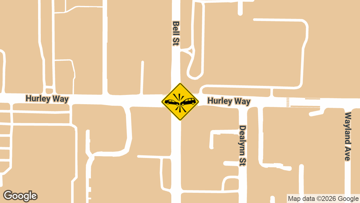
Two-Vehicle Crash With Injuries at Hurley Way and Bell St in Arden-Arcade, CA
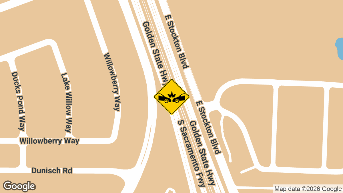
Four-Vehicle Crash Shuts Down SB SR-99 Near Laguna Blvd in Elk Grove, CA
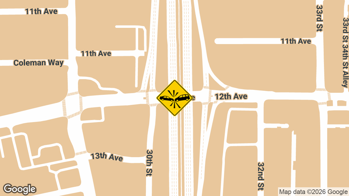
Hit-and-Run Rollover Crash on SB Hwy 99 in Sacramento, CA
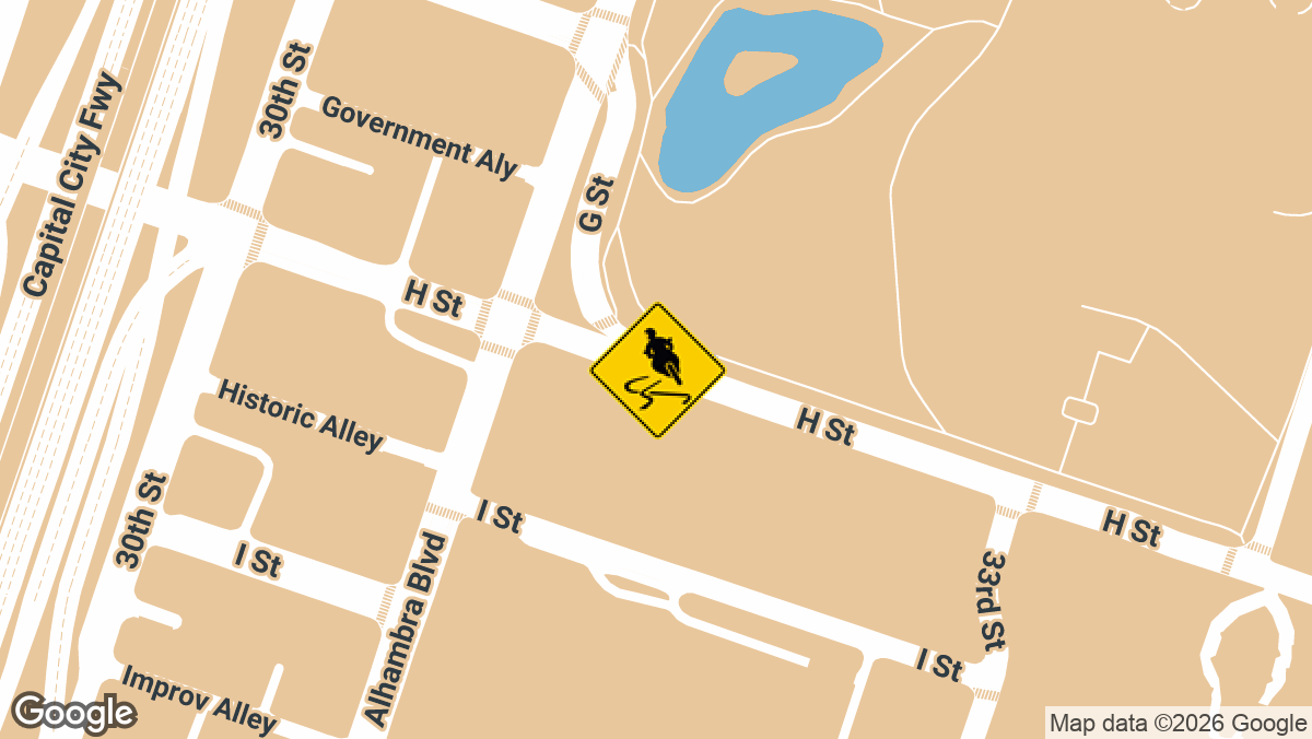
Fatal Motorcycle Crash Kills Passenger at 10th St and H St in Sacramento, CA
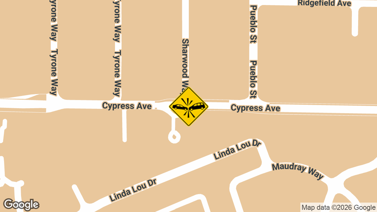
Two-Vehicle Crash With Injuries on Cypress Ave in Carmichael, CA
At Local Accident Reports, we cover crashes in all fifty states. But that’s not all; we also report the latest crashes county by county, not just state by state. Our goal is to give drivers and other road users reliable, up-to-date crash information for any location they’re interested in.
Here you can find some of the most recent crashes in Sacramento County, which covers Sacramento along with North Highlands, Fair Oaks, Elk Grove, Arden-Arcade, Citrus Heights, and Galt. Access recent city reports; the full archive is available on our Sacramento County accident news page.
Similar conditions turn up on roads and intersections across California, and our daily accident alerts add new crashes as they come in.
Local Accident Reports compiles this information from public agency sources and published reports for general reference. It is not legal advice and is not an official police record. Fees, forms and deadlines change, so confirm with the agency before you send a request. Last updated October 2026.