
Car Accidents in Fresno, CA: Crash Data and Road Safety
Key crash statistics, high-risk roads, and accident report resources in Fresno County, California.
After the freeways opened, much of the through traffic shifted away from Blackstone Avenue. Even so, Blackstone remains busy, especially with shoppers heading to River Park. Shaw Avenue is another hotspot, as it regularly carries Fresno State students back and forth. Looking at recent crash data, 2025 saw a decrease in overall traffic deaths, though there was an increase in pedestrian fatalities, which has raised concerns among local officials and residents.
If a crash happens in Fresno, the location makes a difference. Accidents on the freeways or in one of the county islands spread throughout the city are handled by different agencies than those that happen on city streets. This affects where you will need to go to get a copy of your crash report.
Reporting a Crash in Fresno, CA
The Fresno Police Department investigates crashes on city streets. The California Highway Patrol’s Fresno Area office at 1380 East Fortune Avenue covers SR 99, 41, 168 and 180. The CHP also covers unincorporated county roads, including the county islands scattered through the Fresno area. The Fresno County Sheriff’s Office polices the unincorporated county but sends traffic crashes there to the CHP.
Fresno Police collision reports are free at the Records lobby, 2323 Mariposa Street, open weekdays from 8 a.m. to 4 p.m., though the department warns of long waits. Online copies through the LexisNexis crash report portal carry a $12 convenience fee. To search online, you need the crash date plus two of these: street name, case number, or the last name of an involved party or registered owner.
Under California Vehicle Code 20012, reports go to the drivers, anyone injured, owners of damaged vehicles or property, the parent of a minor driver, and their attorneys. For a CHP report, send a CHP 190 form to a CHP Area office by mail or in person, with a copy of your photo ID or a notarized signature. The fee is $10 for up to 25 pages.
Separately, California requires an SR-1 form sent to the DMV within 10 days of any crash where someone was hurt, however slightly, or killed, or where damage topped $1,000.
Not sure which agency took your report? We can help you find out. Our California accident resources cover the rest of the state.
Where Do Most Crashes Happen in Fresno?
Fresno’s Vision Zero Action Plan, adopted in May 2026, found that 14 percent of the city’s streets carried 81 percent of all crashes and 89 percent of fatal and severe-injury crashes from 2019 to 2023. The plan’s crash analysis names these locations.
- Blackstone Avenue and Ashlan Avenue. The highest-scoring of the 11 intersections in the plan’s crash analysis, with 27 crashes, 10 of them fatal or severe. The mile of Blackstone from Ashlan south to Shields Avenue logged 83 crashes, 20 fatal or severe, and is one of the plan’s five priority corridors.
- Blackstone Avenue, Nees Avenue to Herndon Avenue. The stretch by River Park had 53 crashes, eight fatal or severe, and is another priority corridor. Just north of it, the City repaved Blackstone from Minarets to Nees in late 2025, adding bike lanes and high-visibility crosswalks.
- Shields Avenue, West Avenue to First Street. Nearly three miles with 125 crashes and 28 fatal or severe crashes, the highest count of fatal and severe crashes on any segment in the plan.
- Belmont Avenue, Palm Avenue to Cedar Avenue. The most crashes of any segment in the plan, 138, with 25 fatal or severe. It is also a priority corridor.
- Shaw Avenue, Blackstone Avenue to Cedar Avenue. Two miles running east to the southwest corner of the Fresno State campus, with 101 crashes, 19 fatal or severe. The intersection at Cedar and Shaw alone recorded seven fatal or severe crashes.
How Many People Are Hurt and Killed on Fresno Roads
| Measure | Figure | Year | Source |
|---|---|---|---|
| People killed in traffic crashes | 45, down from 54 in 2024 | 2025 | Fresno Police Department year-end review |
| Pedestrians killed | 28, up from 26 in 2024 | 2025 | Fresno Police Department year-end review |
| Fatal collisions | 50 | 2024 | Fresno Police Department annual report |
| Injury collisions | 1,285 | 2024 | Fresno Police Department annual report |
| Fatal and severe-injury crashes on city streets | 846 (217 fatal, 629 severe) | 2019 to 2023 | City of Fresno Vision Zero Action Plan |
| Children under 15 hit while walking, killed or injured | 31, 2nd worst of 15 large California cities | 2023 | California Office of Traffic Safety |
The 2025 counts are derived from the Fresno Police Department’s year-end review, while the 2024 figures come from its annual report. According to the Vision Zero plan, pedestrians account for 14 percent of injury crashes but 36 percent of fatal and severe crashes on Fresno streets. Additionally, 48 percent of all fatal and severe crashes occur at night. Police reported a 23 percent decrease in traffic deaths in the first half of 2026 compared to the same period in 2025.
Trauma Care in Fresno
Community Regional Medical Center at 2823 Fresno Street downtown is an adult Level I trauma center, which the hospital describes as the region’s only Level I. Injured children may go to Valley Children’s Hospital, a Level II pediatric trauma center just north of Fresno in Madera County.
Frequently Asked Questions About Crashes in Fresno Crash
Which Fresno intersection ranks worst for serious crashes?
Blackstone Avenue and Ashlan Avenue scores highest of the 11 intersections in the crash analysis behind Fresno’s Vision Zero Action Plan, with 27 crashes from 2019 to 2023, 10 of them fatal or severe. The stretch of Blackstone from Ashlan to Shields Avenue had 83 crashes in the same five years.
How many people die in traffic crashes in Fresno each year?
Traffic crashes killed 45 people in Fresno in 2025, down from 54 in 2024, according to the Fresno Police Department. Pedestrians were 28 of the 45. Police reported deaths down another 23 percent in the first half of 2026.
How do I get a Fresno Police collision report?
Reports are free at the Fresno Police Records lobby, 2323 Mariposa Street, weekdays 8 a.m. to 4 p.m. Online copies through the LexisNexis crash report portal cost $12. You need the crash date and two identifiers, such as the street name, case number, or an involved party’s last name.
Are pedestrian deaths rising in Fresno?
Yes, in 2025. Fresno police counted 28 pedestrians killed, up from 26 in 2024, even as total traffic deaths fell. The city’s Vision Zero plan found people walking make up 36 percent of fatal and severe-injury crashes, though only 14 percent of injury crashes.
Fresno County Accident Reports on Local Accident Reports
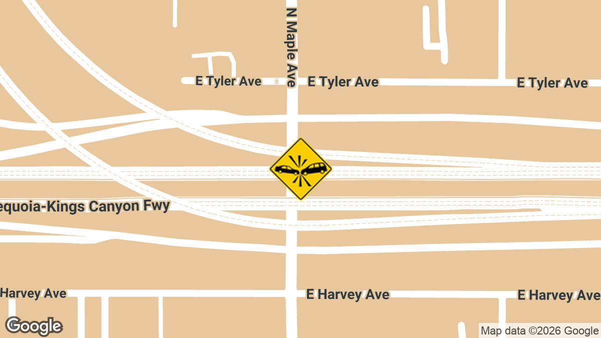
Hit-and-Run Crash with Injuries on SR-180 WB in Fresno, CA
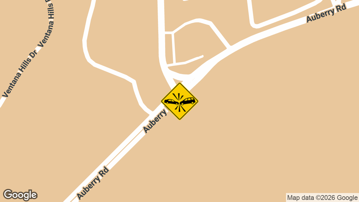
Major Injury Crash at Millerton Rd and Auberry Rd in Friant, CA
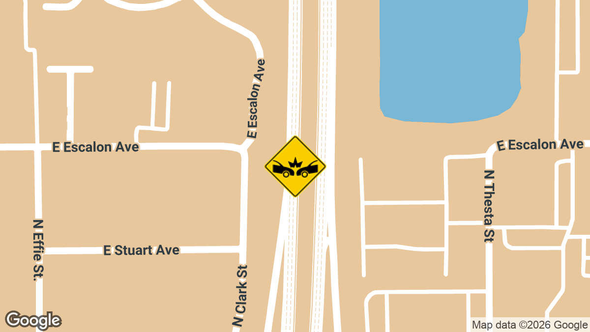
Three-Vehicle Collision Snarls SB Rte 41 at Bullard Ave in Fresno, CA
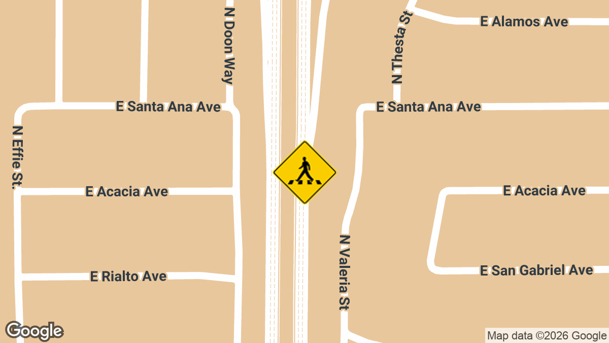
Pedestrian in Wheelchair Struck on Rte 41 NB at Shaw Ave in Fresno, CA
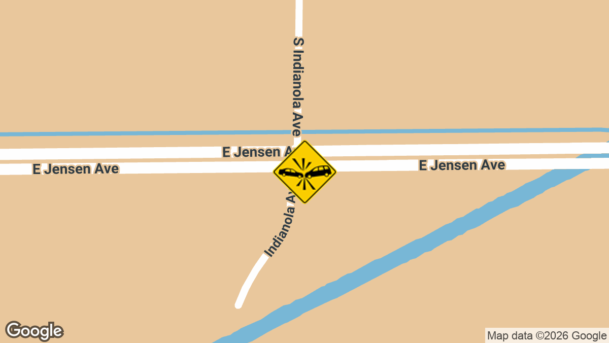
Minor-Injury Two-Vehicle Crash on Jensen Ave in Sanger, CA
At Local Accident Reports, we cover crashes in all fifty states. But that’s not all; we also report the latest crashes county by county, not just state by state. Our goal is to give drivers and other road users reliable, up-to-date crash information for any location they’re interested in.
Here you can find some of the most recent crashes in Fresno County, which covers Fresno along with Clovis, Coalinga, and rural communities such as Caruthers, plus the stretch of I-5 on the county’s west side. Recent city reports include two people hurt in an SR 99 crash near Ashlan Avenue and a man struck by a car near Olive Avenue. The full archive is at Fresno County accident news.
The problem of high-crash roads extends well beyond Fresno. Dangerous roads and intersections across California continue to be the sites of frequent wrecks, and recent accident alerts track them as they are reported.
Local Accident Reports compiles this information from public agency sources and published reports for general reference. It is not legal advice and is not an official police record. Fees, forms and deadlines change, so confirm with the agency before you send a request. Last updated October 2026.